MCCONNELL AIR FORCE BASE, Kan. -- 
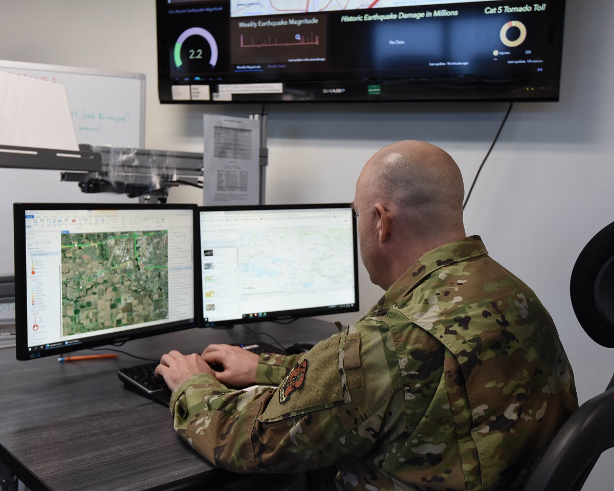
Tech. Sgt. Aaron Bayes, ArcGIS program manager, UPAD Flight, demonstrates the capabilities of the ArcGIS program in providing real time information to emergency response authorities. (Air National Guard photo by Airman 1st Class Sophia Weidner)
A new online tool called Aeronautical Reconnaissance Coverage Geographic Information System, or ArcGIS, has transformed the way the 184th Wing’s 161st Intelligence Squadron performs domestic operations.
A small group of analysts make up the Unclassified Processing Assessment and Dissemination, or UPAD Flight, and are using this tool to help first responders across America as they battle natural disasters.
“ArcGIS is geospatial data management application that our UPAD cell uses to aggregate, sort, and cross reference large swaths of available information,” said Senior Master Sgt. Zachary Balentine, noncommissioned officer in charge, UPAD Operations Center. “This capability allows us to provide more timely and accurate analysis to decision makers during an emergency event.”
The UPAD Operations Center was first started in response to Hurricane Harvey in 2017. The UPAD utilizes Incident Awareness and Assessment, or IAA, to compile publicly available information and distribute it to first responders and command staff using ArcGIS.
“I used ArcGIS when Florida got hit by the hurricanes a few years ago, and I pulled some information from USGS and NOA, and then we were actually able to predict ahead of time when this airport was going to flood,” said Tech. Sgt. Aaron Bayes, ArcGIS program manager, UPAD Flight. “So we coordinated and scheduled an airplane to go in and pick those people up.”

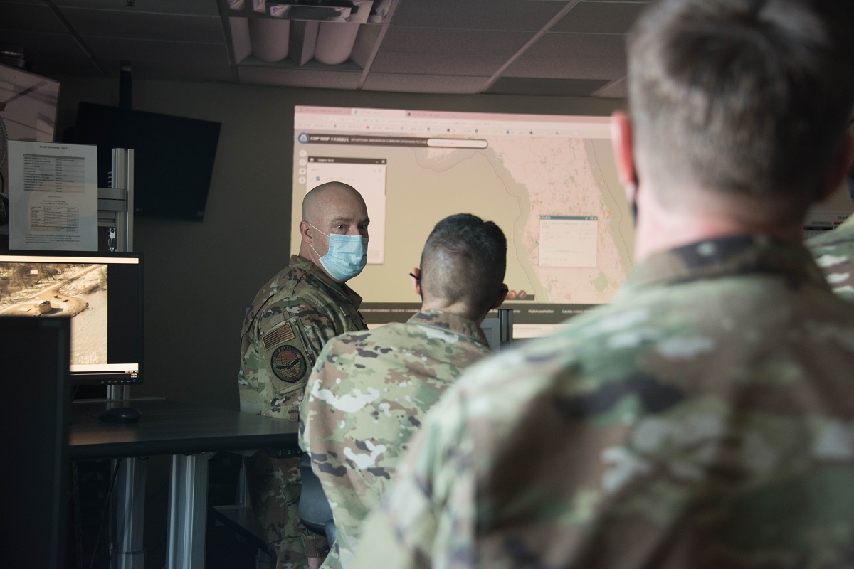
Tech. Sgt. Aaron Bayes, ArcGIS program manager, UPAD Flight, briefs visiting state command staff on new programs being used to help domestic operations. Bayes specifically uses ArcGIS to help first responders and command staff properly react to natural disasters. (Air National Guard photo by Airman 1st Class Sophia Weidner)
Without the UPAD team’s use of ArcGIS, the airport would not have known to evacuate that early.
The UPAD is a quick reaction force based out of Wichita, Kansas, and has Air National Guard members ready to respond at a moment’s notice.
“Our UPAD is postured to support the nation and, more specifically, the 2.9 million Kansans across 115 different counties, for whatever threat or hazard they confront,” said Lt. Col. Joe Deeds, commander, 161st IS.
Outside of Kansas, the UPAD can lend their talents to other states in need such as Florida and South Carolina, who they have helped within the last few years. They’ve also augmented other UPAD teams such as the one in California as they battled wildfires.
As the UPAD continues to grow and utilize ArcGIS more and more, their reach grows as well. While they continue to help Kansas, they’re increasing their role in battling natural disasters throughout the nation.